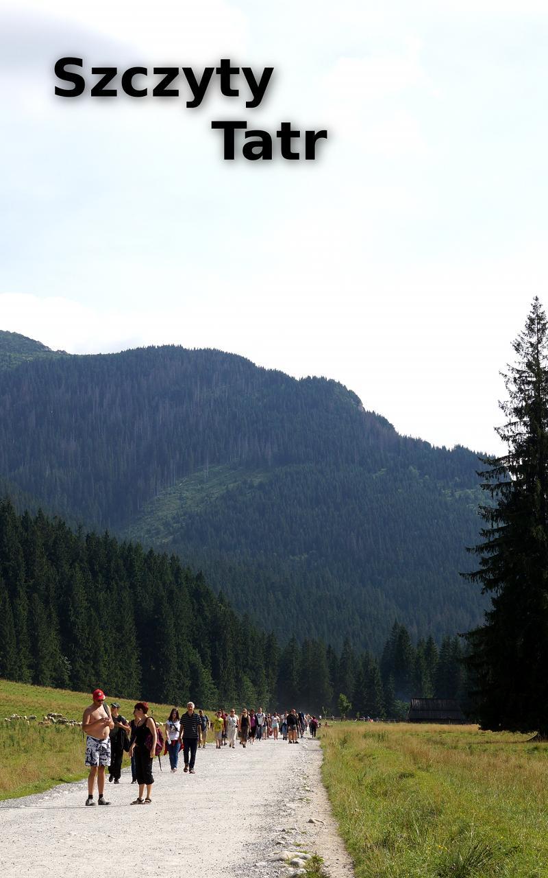
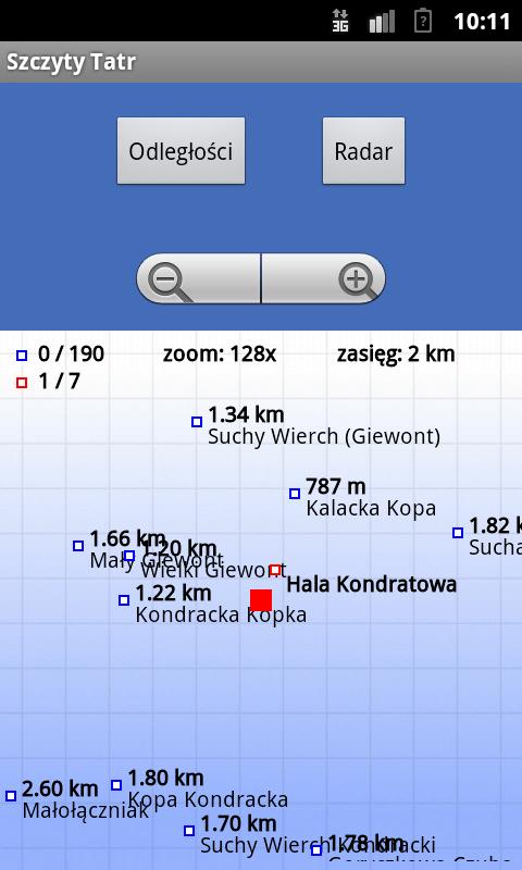
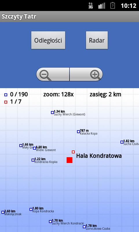
The application displays a map of the nearest peaks of the Tatra Mountains
The application displays a map of the nearest peaks of the Tatra Mountains. Check on what you just look how far it is to the top and its height. Leave Zakopane, visit the shelter and the tops of the mountains. This application will allow you to mark the places you've been.
Main features:
- Measuring the distance
- A list of the nearest peaks
- Record peaks and visited shelters
- List of achievements gained
- Two font sizes to choose for your phone and tablet
- Fun geocaching
- Works without an Internet connection
The application requires turn on GPS navigation.
What's New in the Latest Version 1.0.3
Last updated on Sep 18, 2015 v1.0.3 optymalizacja, splashscreen 1 sek.
v1.0.2 powiększenie mapy
v1.0.1 dodanie siatki na mapie